


8 km | 9.6 km-effort


User


FREE GPS app for hiking
 SityTrail
IGN / Geographical institutes
SityTrail World
The world is yours!
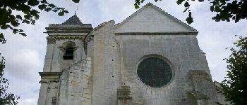
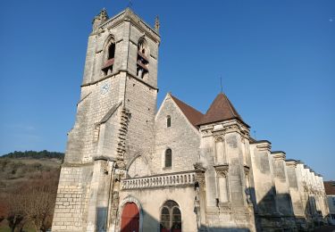
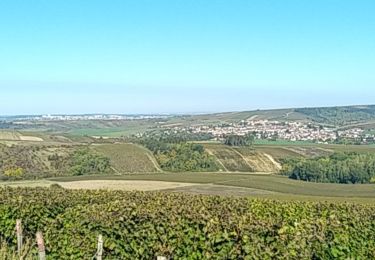
Trail Walking of 15.6 km to be discovered at Bourgogne-Franche-Comté, Yonne, Deux Rivières. This trail is proposed by randodan.
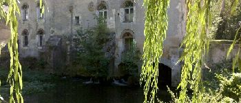
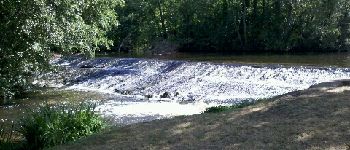
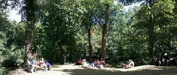
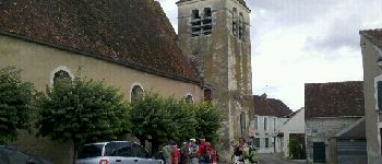
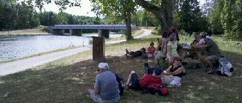
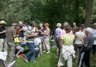
W.E. camping SLV août 2012 .
1er jour samedi 25 :
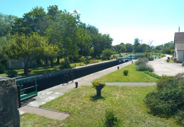
Cravant , Vermenton , pique-nique au Parc Municipal des Iles , Accolay , canal d'Accolay , Cravant .


On foot
Walking
Walking
Walking
Walking
Walking

Walking
Walking
Walking
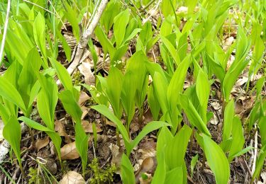
Randonnée agréable.